
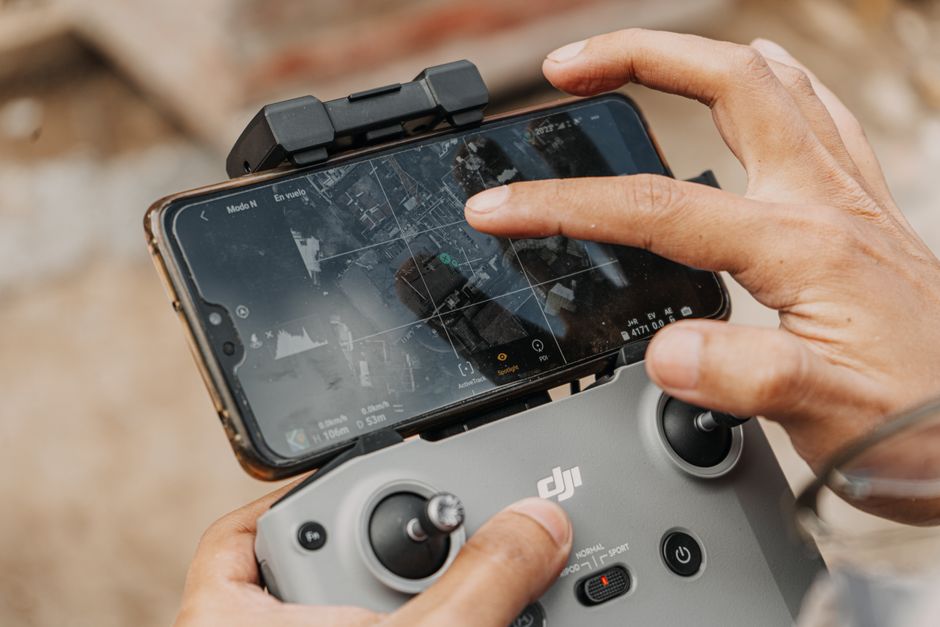
Imagine surveying a vast industrial site in minutes or inspecting a complex power line network with pinpoint accuracy. 3D mapping with drones is transforming how industries capture and use spatial data, offering faster, safer, and more detailed insights than traditional methods.
How 3D Mapping With Drones Works
3D mapping with drones involves equipping unmanned aerial vehicles (UAVs) with cameras and sensors that capture overlapping images from multiple angles. These images are stitched together using photogrammetry software to create detailed three-dimensional models of the terrain, infrastructure, or objects below. Drones can cover large or inaccessible areas efficiently, producing models with resolutions down to a few centimeters per pixel. This technology is being adopted by many sectors for its speed and accuracy.
Drone Inspection and Utility Applications
Commercial drones are a game changer for inspection routines in utility and infrastructure sectors. Drone inspection teams can map power lines, pipelines, wind turbines, and solar farms quickly, reducing the need for manual climbs or shutdowns. A utility company might use a drone to scan a transmission tower, producing a high-resolution 3D asset map for maintenance planning. Drone utility inspection not only improves worker safety but allows for frequent and thorough checks, catching issues before they become costly failures.
For large-scale projects, drones can cover hundreds of hectares in a single day, capturing data that would take several ground teams much longer. The resulting 3D maps support asset management, planning, and predictive maintenance. In industries where uptime is critical, these efficiencies deliver measurable value.
Surveillance and Security Benefits
Surveillance drone technology leverages 3D mapping to enhance site security and monitoring. With a single flight, drones can provide a comprehensive spatial overview of sensitive areas, highlighting potential vulnerabilities. Security teams might deploy a drone to create a 3D model of a facility’s perimeter and use that data to plan patrols or install new barriers. Some drones can even fly pre-programmed routes, comparing real-time images to stored 3D maps to detect unauthorized changes or intrusions.
Compared to fixed cameras, drone-based mapping covers more ground and captures blind spots. Integrating 3D mapping with drones into security protocols allows for rapid assessment after incidents and more informed decision-making.
Choosing Between UAVs and Drones for Mapping
The terms “UAV” and “drone” are often used interchangeably, but there are distinctions worth noting. UAV refers to the broader category of unmanned aerial vehicles, which can include fixed-wing aircraft, multi-rotors, and even hybrid designs. Not every UAV is suited for mapping: multi-rotor drones are favored for their maneuverability and ability to hover, making them ideal for detailed inspection and mapping tasks. Fixed-wing UAVs excel at covering very large areas but may lack the precision needed for close-up 3D modeling.
For most commercial drones used in 3D mapping, the choice depends on the site’s size, terrain, and required resolution. Multi-rotors dominate in construction, utilities, and security applications, while fixed-wings see use in surveying agricultural land or broad infrastructure corridors.
Where to Go Next With Drone Mapping
If you’re considering adopting 3D mapping with drones for inspection, security, or utility monitoring, your next step is to explore in-depth guides on drone selection and mapping software. Look for case studies matching your industry and compare the capabilities of multi-rotor and fixed-wing platforms. For a deeper technical dive, seek out resources on integrating 3D maps into your existing asset management or security systems. The right combination of drone hardware and software will depend on your specific operational needs and the level of detail required.